Localization: Why It All Starts With a Map
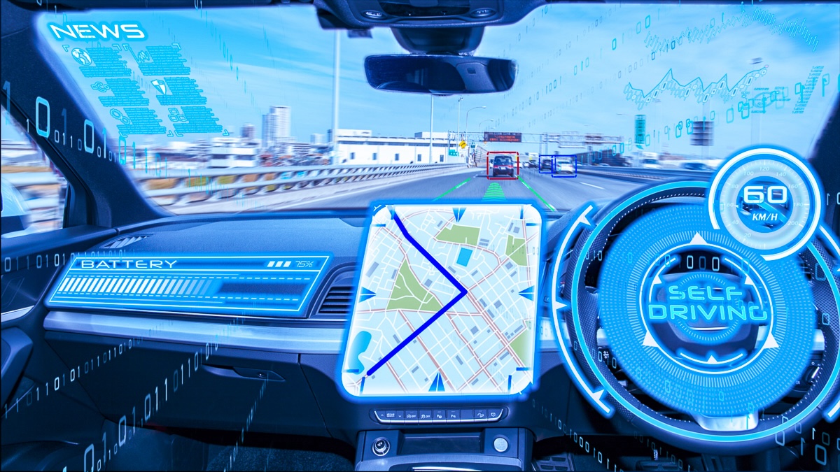
For any autonomous vehicle or machinery to navigate an area safely, it needs to know where it is—or be able to localize. However, localization requires having a map against which to localize. This map is often called a “pre-map” since it is created beforehand rather than in real-time or during operation.
What is a Pre-Map?
A pre-map is essentially a spatial model or digital blueprint of the operating environment. It contains the key features and landmarks a vehicle can use to determine its precise location by comparing its sensor data against the map. Pre-maps capture everything from road geometry, intersections, traffic signs/signals, lane markings, curbs, and more.
Typical components that make up a robust pre-map include:
- 3D point cloud data
- Geometric mapping of roads/surfaces
- Semantic data like lane markings, signage, etc.
- Localization features like poles, curbs, buildings
- Ground truth poses and paths
Traditional Localization Modalities and Mapping
Pre-maps are critical for several reasons:
- Enhanced Accuracy: By comparing real-time sensor data with pre-mapped information, autonomous vehicles can achieve centimeter-level accuracy in localization, far surpassing the capabilities of GPS alone.
- Environmental Understanding: Pre-maps provide a contextual understanding of the environment, allowing vehicles to anticipate and react to upcoming road features, traffic conditions, and potential obstacles.
- Redundancy and Reliability: In environments where real-time sensor data may be compromised (e.g., due to poor weather or obstructions), pre-maps offer a reliable backup to ensure consistent and safe navigation.
Standard mapping techniques include:
-
Lidar: Light Detection and Ranging (Lidar) uses laser pulses to create high-resolution 3D maps of the environment. It scans the surroundings to detect objects and surfaces, building a detailed spatial map. Multiple passes are often required to capture sufficient detail and to account for varying environmental conditions.
-
Computer Vision: Using cameras and advanced image processing algorithms, computer vision systems identify and classify visual features such as lane markings, signs, and obstacles. Creating reliable maps with computer vision often necessitates repeated data collection to cover different lighting and weather conditions.
-
GPS Satellite Localization: GPS systems provide global positioning data by triangulating satellite signals. While GPS is useful for general location information, its accuracy can be limited, especially in urban environments with tall buildings or adverse weather conditions. Hence, GPS-based maps often need supplementary data from other sensors to achieve high precision.
How We Map at GPR
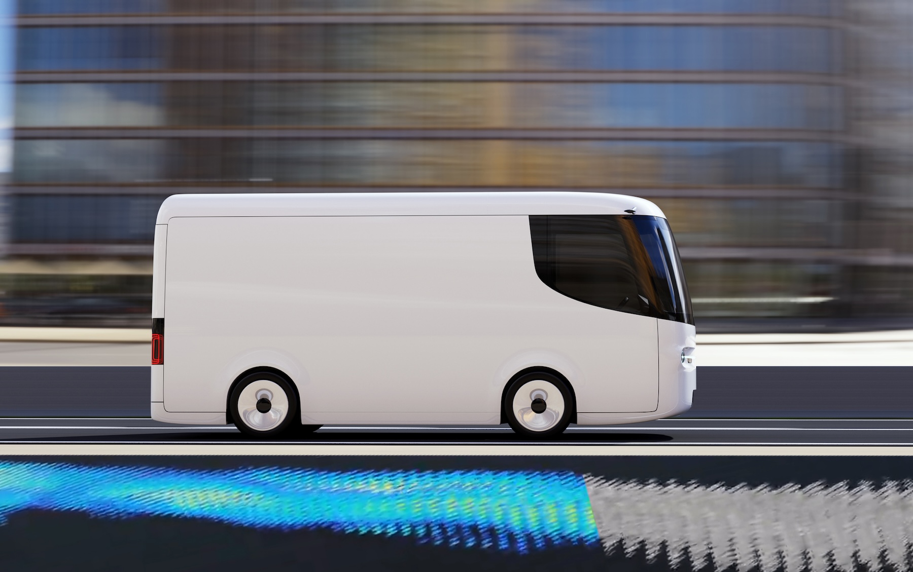
WaveSense revolutionizes the pre-mapping process. Unlike traditional methods, WaveSense requires only a single pass to create a detailed subsurface map. Here’s how it works:
- GroundSense Sensor: Installed under the vehicle, GroundSense collects rich data about the subterranean features beneath the road, which remain stable over time.
- NavSense Matching Algorithms: NavSense immediately processes this data to create a precise subsurface map that is ready for localization.
- MapSense Mapping Suite: Ensures seamless integration and adaptability for both on-road and off-road applications.
By relying on stable subsurface features, WaveSense enables consistent and reliable localization that is unaffected by changes in surface conditions or environmental factors. With this key component in place, autonomous vehicles are better equipped to tackle the complexities of the road, making transportation safer and more efficient for all.
Interested in learning more?
Contact us today to learn how our groundbreaking technology works and can transform your autonomous vehicle operations with unparalleled precision and reliability.