The surface changes, GPR maps don’t
Technology tackling the industry’s most common obstacles
Our Ground Positioning Radar™ provides automakers, Tier 1 suppliers and autonomous vehicle companies with the tools to deliver new levels of safety and performance for their customers. The advanced subterranean maps developed by GPR are also being leveraged across other industries for commercial robots and equipment.
Mapping and tracking the earth’s subsurface
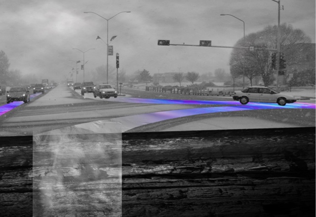
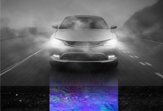
Our ultra-wide band Ground Positioning Radar™ (GPR) uses reflections of the underground to generate high definition maps. When a vehicle is in motion, GPR tracks and matches a real-time radar scan with the subsurface map. This enables precise vehicle positioning regardless of poor weather or visibility, faint road markings, or other common challenges facing advanced driver-assistance systems (ADAS).
How it works
Scanning in real-time
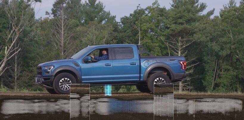
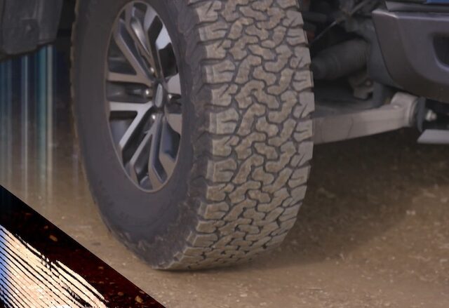
Packaged underneath the vehicle, our product sends low frequency pulses two to three meters into the ground to pick up reflections from below the road surface and create a detailed map.
Advanced positioning
Our automated process compares previously measured stable subsurface terrain with real-time underground data to accurately position vehicles on the road without relying on lane markings or an unpredictable surface environment.
Integrating with vehicle navigation
GPR feeds this detailed positioning data into a vehicle’s navigation system, enabling it to provide reliable and accurate autonomous driver-assist capabilities including lane-keeping and automated parking.