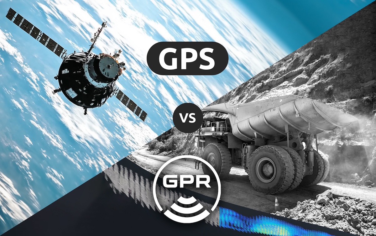
GPR & GNSS for Autonomous Vehicle Positioning: A Technical Comparison
Global Navigation Satellite Systems (GNSS) are what we know for positioning capabilities. They’re what we use in our cars to get us from point A to point B and on our phones when looking up directions. GNSS receivers can also provide meter-level localization for a wide range of autonomous applications, including automotive, Long-Haul trucking, construction, and mining machinery.
However, urban canyons, tree-lined streets, tunnels, and underpasses can all block GNSS satellite signals long enough to interrupt positioning. For autonomous mobility to have the public’s trust, these failures are unacceptable at any time.
Therefore, in these environments, a reliable sensor must continue providing accurate positioning data to the vehicle’s systems. In these cases, GPR’s Ground-Positioning Radar technology can provide a game-changing solution for scaling autonomous mobility.
This blog aims to provide a detailed comparison between GPR and GNSS, examining their operational principles, performance metrics, and applicability in various autonomous scenarios. We’ll explore how these technologies can complement each other and discuss their roles in addressing challenging environments such as GNSS-denied areas and indoor spaces.
Ground Positioning Radar (GPR) Technology
Ground Positioning Radar is a novel technology for autonomous vehicle (AV) localization. It utilizes ground penetrating radar to create a detailed map of subsurface features, which can then be used for an AV to localize against.
Operational Principle
GPR systems operate by emitting radio waves into the ground. These waves are reflected by various subsurface features, including soil layers, rock formations, and man-made structures. The reflected signals are then captured by a receiving antenna and processed to create a high-resolution image of the subsurface.
For autonomous positioning, the GPR system (WaveSense) creates a database of these subsurface images, which can be used as a reference map. By comparing real-time GPR scans with this reference map, the system can determine the vehicle’s position with high accuracy.
Key Features and Capabilities
- High-resolution imaging: GPR can accurately map subsurface features, allowing for accurate centimeter positioning of the vehicle.
- Weather-independent operation: Unlike optical systems, GPR can operate effectively in various weather conditions, including rain, snow, and fog.
- Unique subsurface fingerprinting: The subsurface features detected by GPR are highly character-rich and generally stable over time, providing a reliable reference for positioning.
GNSS Technology
GNSS is a collective term for satellite-based navigation systems that provide global coverage. The most well-known GNSS is the Global Positioning System (GPS) operated by the United States, but other systems include GLONASS (Russia), Galileo (European Union), and BeiDou (China).
Operational Principle
Most GNSS work by triangulating the position of a receiver based on signals from multiple satellites. Each satellite continuously broadcasts a signal that includes:
- The satellite’s position
- The time the signal was transmitted
- The health status of the satellite
The receiver picks up these signals from multiple satellites (typically four or more for a precise fix) and calculates its position based on the time difference between sending and receiving the signal.
Key Features and Capabilities
- Global coverage: GNSS provides positioning information with a clear sky view almost anywhere on Earth.
- Integrations for high accuracy: Modern GNSS receivers can achieve sub-meter accuracy in ideal conditions, with high-end systems reaching centimeter-level precision using techniques like Real-Time Kinematic (RTK) positioning.
Comparative Analysis: Performance Metrics
Let’s compare GPR and GNSS across key performance metrics:
- Accuracy
- GNSS: 5-10 meters (can reach greater precision with different approaches)
- GPR: 1-5 cm (depending on the system and environment)
- All-weather capability
- GNSS: Performance can be degraded by atmospheric conditions and solar activity
- GPR: Resilient across adverse weather conditions
- Availability
- GNSS: Subject to line-of-sight requirements. Obstructions such as tall buildings, dense foliage, tunnels, and other structures can lead to signal degradation or complete loss.
- GPR: Utilizes a map of the unique subsurface features of roadways, which are consistent and unaffected by changes above ground, such as obstructions or satellite visibility issues.
Pros and Cons:
GPR Advantages
1. High accuracy in challenging environments (urban canyons, indoors)
2. Weather-robust operation
3. Provides unique, stable reference points
4. Not susceptible to jamming or spoofing like GNSS
GPR Disadvantages
1. Requires initial mapping of the environment
2. New technology to the localization market
3. Only suitable for ground based systems
GNSS Advantages
1. Provides absolute positioning without prior mapping
2. Global coverage
3. Well-established technology with wide support
4. Works in aerial applications
GNSS Disadvantages
1. Requires clear sky view for optimal performance
2. Susceptible to multipath errors in urban environments
3. Vulnerable to jamming and spoofing
4. Accuracy can be affected by atmospheric conditions and solar activity (its precision is constrained by inherent limitations in receiving signals from space, including inaccuracies in satellite orbits, satellite clock errors, and interference from atmospheric conditions)
5. Difficult or impossible to provide functionally safe positioning for safety-critical applications
Conclusion
Both GPR and GNSS play crucial roles in autonomous positioning, each with its own strengths and limitations. GNSS provides global coverage and is well-established, making it first to mind for positioning. GPR, while a new way of solving a longstanding problem, offers superior accuracy in challenging environments and is less susceptible to interference.
The future of autonomous positioning likely lies in the intelligent integration of these technologies, along with other sensing modalities. Engineers working on autonomous systems should consider the specific requirements of their applications, including accuracy needs, the operational environment, functional safety requirements, and cost constraints when choosing between or combining GPR and GNSS technologies. More often than not, GNSS and GPR pair well together and can provide high availability and functionally safe positioning.
One thing is certain: the path toward full acceptance of autonomous vehicles always requires reliable positioning data, no matter the environment.
At GPR, we’re leading the way in localization technology for automated driving, in any conditions. Contact us to learn more about GPR for localization.